
Archivo:Blank US Map, striped.svg

Ver la imagen en su resolución original ((Imagen SVG, nominalmente 959 × 593 pixels, tamaño de archivo: 94 kB))
Resumen
| Descripción |
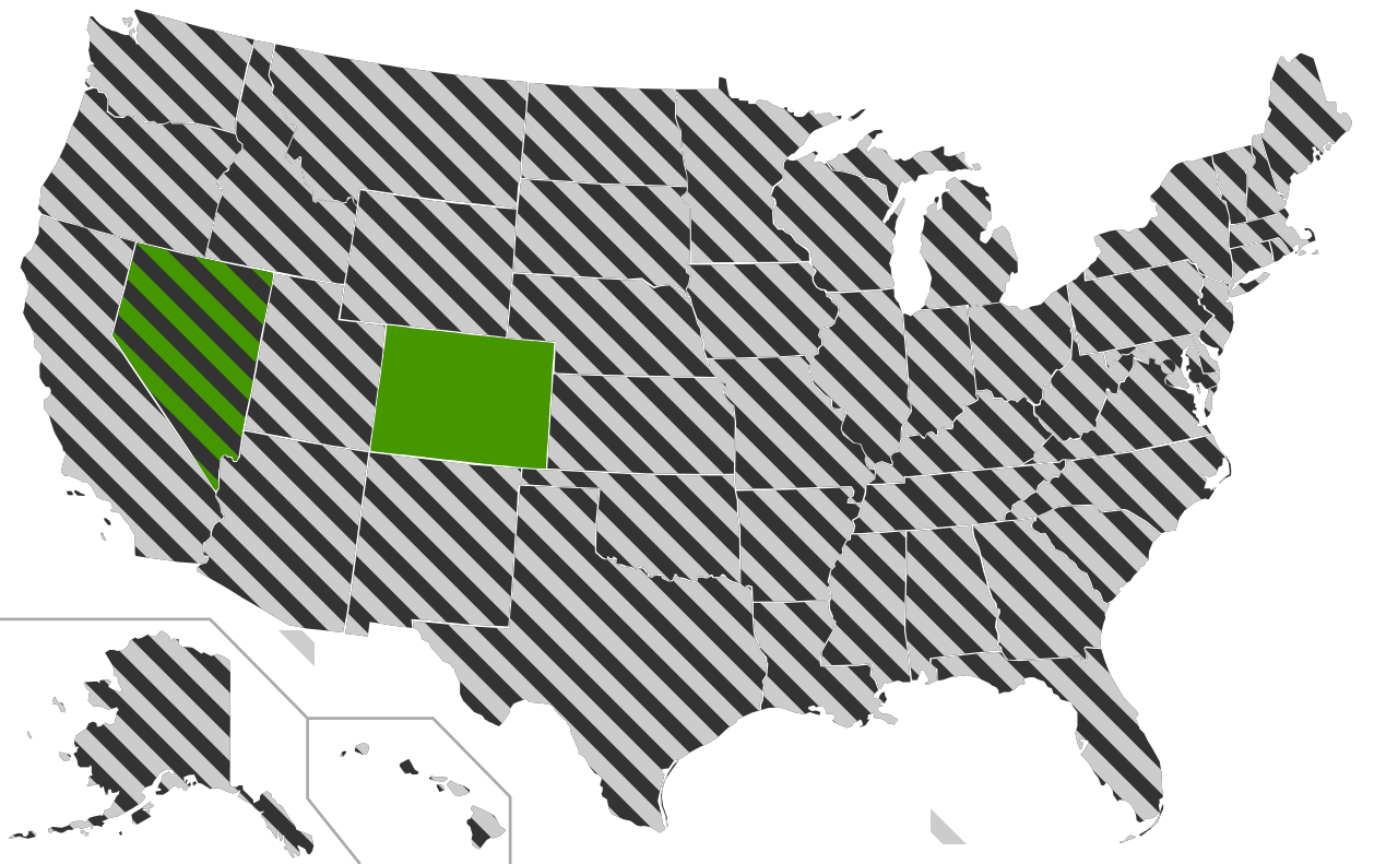
A blank map of the United States with the states striped allowing for derivatives to be easily made using CSS styles. All of the paths states in the file has been assigned an id consisting of the two letter abreviation for that state in order to enable easy editing using a text editor. The striping in neighbouring states have been made not to align on purpose since this makes it easier to distinguish the individual states. The state with a solid colour is also striped but provided as solid to give a code example for how to use this as a basis for a map with both solid and striped states. The circle on DC can be turned of by changing the For a practical application please see Same-sex marriage in the United States.svg
|
| Fecha | |
| Fuente | This version was made by Lokal_Profil using Inkscape and a text editor and is based on Blank US Map.svg by User:Theshibboleth. |
| Autor | Lokal_Profil |
| Permiso (Reutilización de este archivo) |
Este archivo se encuentra bajo la licencia Creative Commons Genérica de Atribución/Compartir-Igual 2.5. Atribución: Lokal_Profil
|
| Otras versiones |
Obras derivadas de ésta: |
| SVG desarrollo | El código fuente de esta imagen SVG es inválido por un error. Este mapa, inválido según el W3C, fue creado con una desconocida SVG herramienta |
Historial del archivo
Haz clic sobre una fecha y hora para ver el archivo tal como apareció en ese momento.
| Fecha y hora | Miniatura | Dimensiones | Usuario | Comentario | |
|---|---|---|---|---|---|
| actual | 07:59 29 may 2009 | | 959 × 593 (94 kB) | Athelwulf | More human-readable. |
| 23:03 26 may 2009 |  | 959 × 593 (94 kB) | Lokal Profil | {{Information |Description=A blank map of the United States with the states striped allowing for derivatives to be easily made using CSS styles. All of the paths states in the file has been assigned an id consisting of the two letter abreviation for that |
Usos del archivo
No hay páginas que enlacen a este archivo.
Uso global del archivo
Las wikis siguientes utilizan este archivo: