
Archivo:SA Sites.png
Tamaño de esta previsualización: 656 × 599 píxeles. Otras resoluciones: 263 × 240 píxeles · 525 × 480 píxeles · 801 × 732 píxeles.
Ver la imagen en su resolución original (801 × 732 píxeles; tamaño de archivo: 1,03 MB; tipo MIME: image/png)
| Descripción |
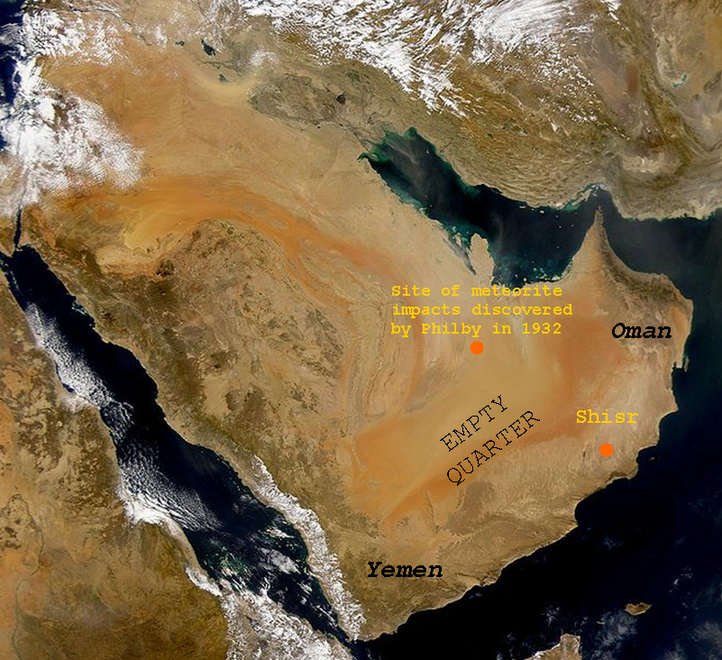
English: SeaWiFS collected this view of Arabia and of dust blowing across the Persian Gulf. Español: La Península Arábiga vista desde el espacio Suomi: Satelliittikuva Arabian niemimaasta |
| Fecha | (UTC), Tomada el 2 de marzo de 2000 |
| Fuente | |
| Autor |
|
| Esta es una imagen retocada, lo que significa que ha sido alterada digitalmente de su versión original. Modificaciones: Added text. La original se puede ver aquí: Arabian Peninsula dust SeaWiFS.jpg. Las modificaciones las hizo Shaibalahmar.
|
Yo, el titular de los derechos de autor de esta obra, la publico en los términos de la siguiente licencia:
| This image is from the Sea-viewing Wide Field-of-view Sensor (SeaWiFS) Project and more than 5 years old.
Satellite data captured by the SeaWIFS sensor are released into the public domain 5 years after capture. Data less than five years old can be re-used only for educational or scientific purposes; any commercial use of such images must be coordinated with GeoEye. [1] |
| This work has been released into the public domain by its copyright holder, GeoEye. This applies worldwide. En algunos países esto puede no ser legalmente factible; si ello ocurriese: GeoEye otorga a cualquier persona el derecho de usar este trabajo para cualquier propósito, sin ningún tipo de condición, a menos que éstas sean requeridas por la ley.
|
This image is a derivative work of the following images:
- Image:Arabian_Peninsula_dust_SeaWiFS.jpg licensed with PD-SeaWiFS
- 2008-01-02T17:02:18Z Hautala 2504x2286 (873404 Bytes) {{PD-USGov-NASA}} * {{en|Satellite image of Arabian peninsula}} * {{es|La Península Arábiga vista desde el espacio}} * {{en|Satelliittikuva Arabian niemimaasta}} Taken from NASA's [http://visibleearth.nasa.gov/ Visible E
Historial del archivo
Haz clic sobre una fecha y hora para ver el archivo tal como apareció en ese momento.
| Fecha y hora | Miniatura | Dimensiones | Usuario | Comentario | |
|---|---|---|---|---|---|
| actual | 06:43 7 jul 2011 | | 801 × 732 (1,03 MB) | Shaibalahmar |
Usos del archivo
La siguiente página usa este archivo:
Uso global del archivo
Las wikis siguientes utilizan este archivo:
- Uso en en.wikipedia.org
- Uso en et.wikipedia.org
- Uso en sr.wikipedia.org